Alva, Queensland
Alva | |||||||||||||
|---|---|---|---|---|---|---|---|---|---|---|---|---|---|
 Alva Beach and Alva | |||||||||||||
 Alva | |||||||||||||
Interactive map of Alva | |||||||||||||
| Coordinates: 19°27′20″S 147°28′52″E / 19.4555°S 147.4811°E | |||||||||||||
| Country | Australia | ||||||||||||
| State | Queensland | ||||||||||||
| LGA | |||||||||||||
| Location |
| ||||||||||||
| Established | 1926 | ||||||||||||
| Government | |||||||||||||
| • State electorate | |||||||||||||
| • Federal division | |||||||||||||
| Area | |||||||||||||
• Total | 123.5 km2 (47.7 sq mi) | ||||||||||||
| Elevation | 8 m (26 ft) | ||||||||||||
| Population | |||||||||||||
| • Total | 214 (2021 census)[2] | ||||||||||||
| • Density | 1.733/km2 (4.488/sq mi) | ||||||||||||
| Postcode | 4807 | ||||||||||||
| Mean max temp | 28.2 °C (82.8 °F)[3] | ||||||||||||
| Mean min temp | 20.6 °C (69.1 °F)[3] | ||||||||||||
| Annual rainfall | 1,113.1 mm (43.82 in)[3] | ||||||||||||
| |||||||||||||
Alva is a coastal town and locality in the Shire of Burdekin, Queensland, Australia.[4][5] In the 2021 census, the locality of Alva had a population of 214 people.[2]
Geography
The northern part of Alva is a peninsula extending into the Coral Sea. The peninsula and north-western part of the locality are within the Bowling Green Bay National Park.[6]
Alva Beach, also known as Lynchs Beach, is part of the Burdekin River Delta.[7]
Climate
Alva Beach has a tropical savanna climate (Köppen: Aw) with a highly erratic wet season from November to April and a somewhat cooler dry season from May to October.[8] The wettest recorded day was 28 January 2020 with 275.4 mm (10.84 in) of rainfall. Extreme temperatures ranged from 40.5 °C (104.9 °F) on 28 November 2018 to 3.3 °C (37.9 °F) on 30 June 2002.[9]
| Climate data for Alva Beach (19°28′S 147°29′E / 19.46°S 147.48°E) (8 m (26 ft) AMSL) (1997-2025) | |||||||||||||
|---|---|---|---|---|---|---|---|---|---|---|---|---|---|
| Month | Jan | Feb | Mar | Apr | May | Jun | Jul | Aug | Sep | Oct | Nov | Dec | Year |
| Record high °C (°F) | 37.7 (99.9) |
37.4 (99.3) |
35.0 (95.0) |
34.0 (93.2) |
32.0 (89.6) |
31.0 (87.8) |
29.7 (85.5) |
31.4 (88.5) |
36.2 (97.2) |
34.4 (93.9) |
40.5 (104.9) |
38.7 (101.7) |
40.5 (104.9) |
| Mean daily maximum °C (°F) | 31.1 (88.0) |
31.1 (88.0) |
30.6 (87.1) |
29.1 (84.4) |
26.9 (80.4) |
24.9 (76.8) |
24.3 (75.7) |
25.0 (77.0) |
26.9 (80.4) |
28.5 (83.3) |
29.7 (85.5) |
30.7 (87.3) |
28.2 (82.8) |
| Mean daily minimum °C (°F) | 24.9 (76.8) |
24.6 (76.3) |
23.4 (74.1) |
21.2 (70.2) |
17.9 (64.2) |
15.5 (59.9) |
14.6 (58.3) |
15.5 (59.9) |
19.1 (66.4) |
22.0 (71.6) |
23.8 (74.8) |
24.9 (76.8) |
20.6 (69.1) |
| Record low °C (°F) | 18.0 (64.4) |
19.0 (66.2) |
18.0 (64.4) |
11.9 (53.4) |
7.0 (44.6) |
5.0 (41.0) |
5.8 (42.4) |
6.7 (44.1) |
10.0 (50.0) |
13.8 (56.8) |
16.4 (61.5) |
17.0 (62.6) |
5.0 (41.0) |
| Average precipitation mm (inches) | 282.1 (11.11) |
278.2 (10.95) |
147.7 (5.81) |
75.9 (2.99) |
41.9 (1.65) |
23.8 (0.94) |
26.6 (1.05) |
18.4 (0.72) |
16.5 (0.65) |
34.4 (1.35) |
68.3 (2.69) |
111.3 (4.38) |
1,113.1 (43.82) |
| Average precipitation days (≥ 0.2 mm) | 15.0 | 14.6 | 13.0 | 9.6 | 7.5 | 6.8 | 7.0 | 5.0 | 6.0 | 8.0 | 10.4 | 11.4 | 114.3 |
| Average afternoon relative humidity (%) | 71 | 74 | 68 | 69 | 64 | 64 | 62 | 63 | 65 | 66 | 67 | 67 | 67 |
| Average dew point °C (°F) | 23.6 (74.5) |
24.1 (75.4) |
22.7 (72.9) |
21.2 (70.2) |
18.1 (64.6) |
16.0 (60.8) |
14.9 (58.8) |
15.9 (60.6) |
18.2 (64.8) |
20.0 (68.0) |
21.1 (70.0) |
22.5 (72.5) |
19.9 (67.8) |
| Source: Bureau of Meteorology (1997-2025)[3] | |||||||||||||
History
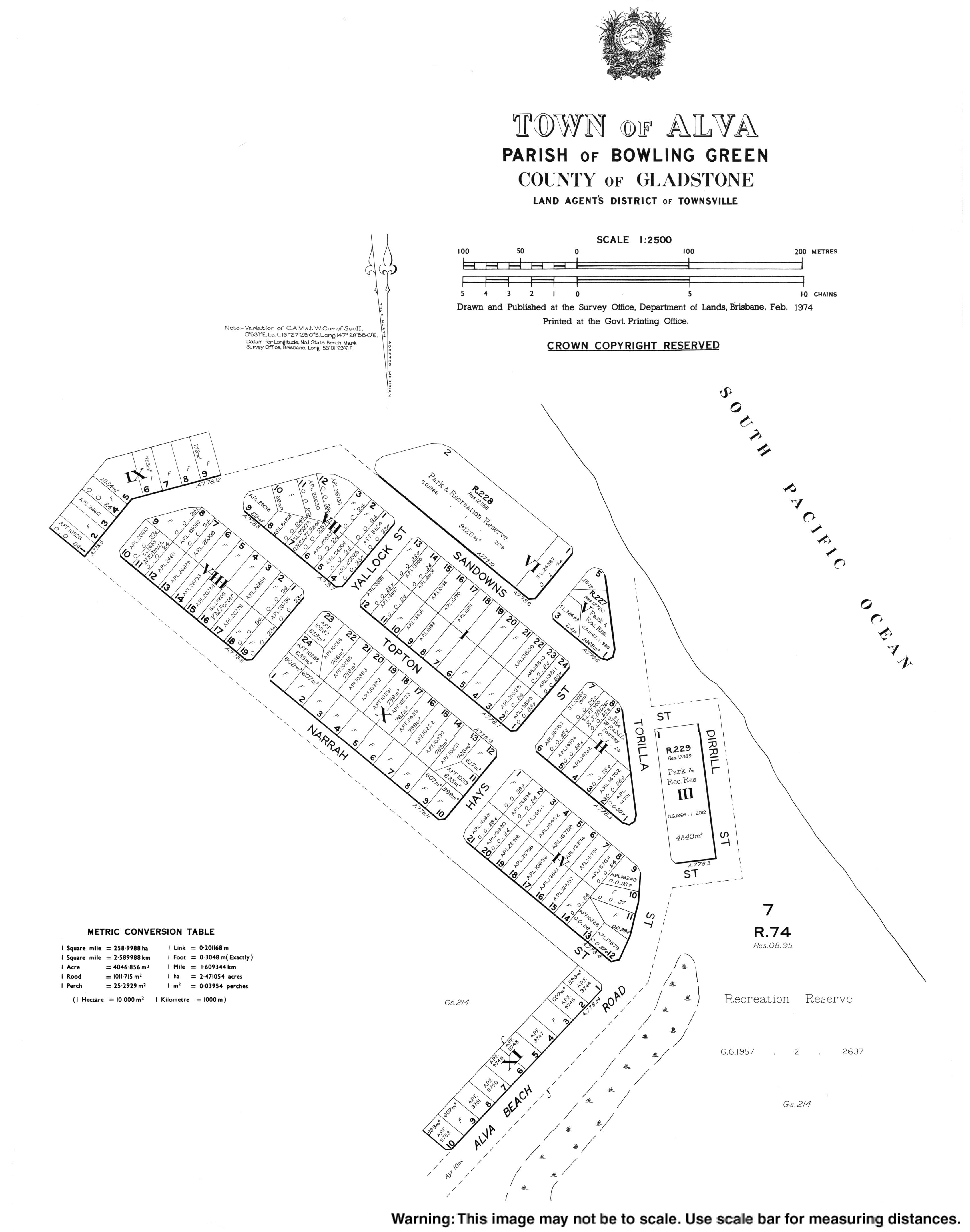
Alva was first surveyed as a town in 1926.[4]
Demographics
In the 2016 census, the locality of Alva had a population of 279 people.[10]
In the 2021 census, the locality of Alva had a population of 214 people.[2]
Education
There are no schools in Alva. The nearest government primary schools are Brandon State School and Kalamia State School, both in neighbouring Brandon to the south-west. The nearest government secondary school is Ayr State High School in neighbouring Ayr to the south. There are also non-government primary and secondary schools in Ayr.[11]
Amenities
The town is home to the Ayr Surf Life Saving Club which opened in 1926 at Alva Beach,[12] the Alva Beach Tourist Park,[13] and a dive shop[14] offering trips to the SS Yongala ship wreck.
Gallery
-
 Alva Beach area
 -
 Alva Beach at low tide
 -
 Ayr Surf Life Saving Club
 -
 Alva Beach Tourist Park
 -
 Yongala Dive shop
References
- ^ Australian Bureau of Statistics (28 June 2022). "Alva (suburb and locality)". Australian Census 2021 QuickStats. Retrieved 28 June 2022.
- ^ a b c Australian Bureau of Statistics (28 June 2022). "Alva (SAL)". 2021 Census QuickStats. Retrieved 28 February 2023.
- ^ a b c d e "Alva Beach Climate Statistics (1997-2025)". Bureau of Meteorology. Retrieved 16 January 2026.
- ^ a b "Alva – town in Shire of Burdekin (entry 42894)". Queensland Place Names. Queensland Government. Retrieved 18 November 2018.
- ^ "Alva – locality in Shire of Burdekin (entry 44664)". Queensland Place Names. Queensland Government. Retrieved 18 November 2018.
- ^ "Queensland Globe". State of Queensland. Retrieved 19 November 2018.
- ^ "Beachsafe". Beachsafe. Surf Life Saving Australia. Archived from the original on 9 August 2021. Retrieved 9 August 2021.
- ^ "Climate classification maps: Köppen - all classes". Bureau of Meteorology. Retrieved 16 January 2026.
- ^ "Alva Beach Climate (1997-2025)". FarmOnline Weather. Australian Community Media. Retrieved 16 January 2026.
- ^ Australian Bureau of Statistics (27 June 2017). "Alva (SSC)". 2016 Census QuickStats. Retrieved 20 October 2018.
- ^ "Layers: Locality; Schools and school catchments". Queensland Globe. Queensland Government. Retrieved 22 June 2024.
- ^ "Ayr Surf Life Saving Club". Ayr Surf Life Saving Club. Ayr Surf Life Saving Club. Archived from the original on 9 August 2021. Retrieved 9 August 2021.
- ^ "AlvaBeachTP". Alva Beach Tourist Park. Alva Beach Tourist Park. Archived from the original on 9 August 2021. Retrieved 9 August 2021.
- ^ "Yongala Dive". Yongala Dive. Yongala Dive. Archived from the original on 9 August 2021. Retrieved 9 August 2021.